The Best Hill station Photo Spots around Sogndal Municipality in Norway

Explore Hill station pictures of Sogndal Municipality with the travel spots on a map
Download the Travel Map of Norway on Google Maps here
18 Hill station Spots of Sogndal Municipality on a Map
Pictures of Hill station on the interacive map of Sogndal Municipality
Download On Google Maps 🗺️📲Hill station Spots and Pictures around Sogndal Municipality
Discover popular destinations in Sogndal Municipality with their travel guides
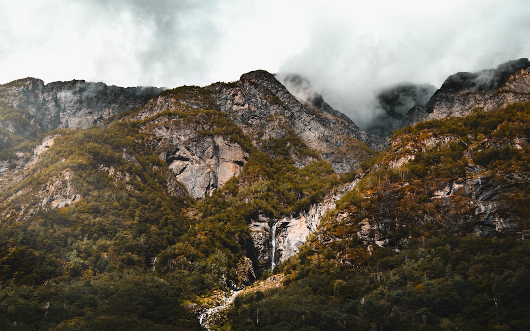
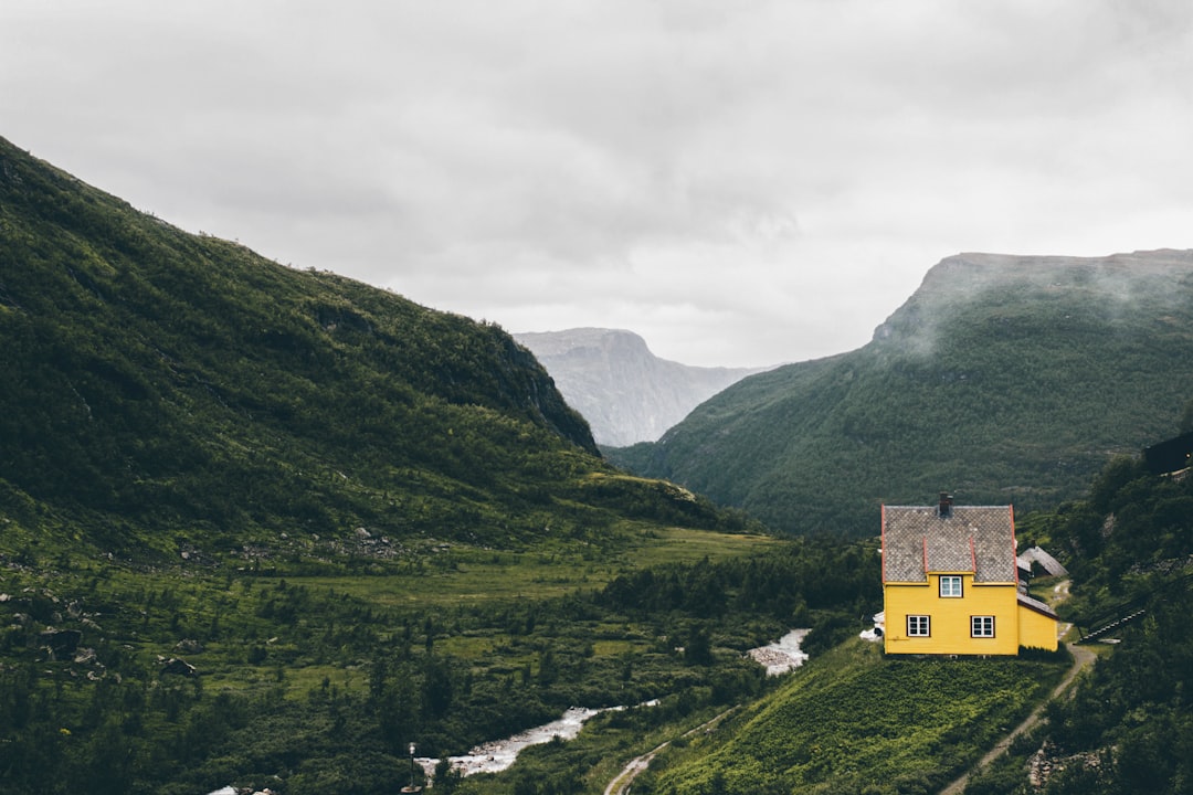
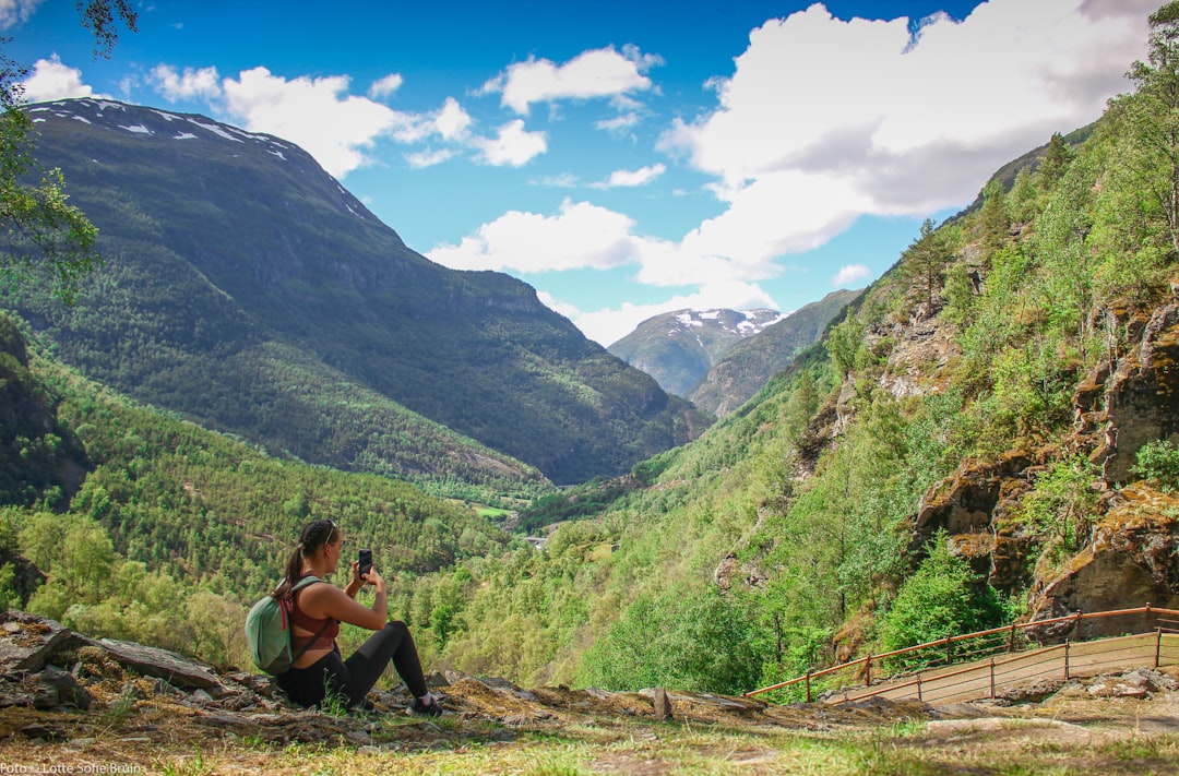
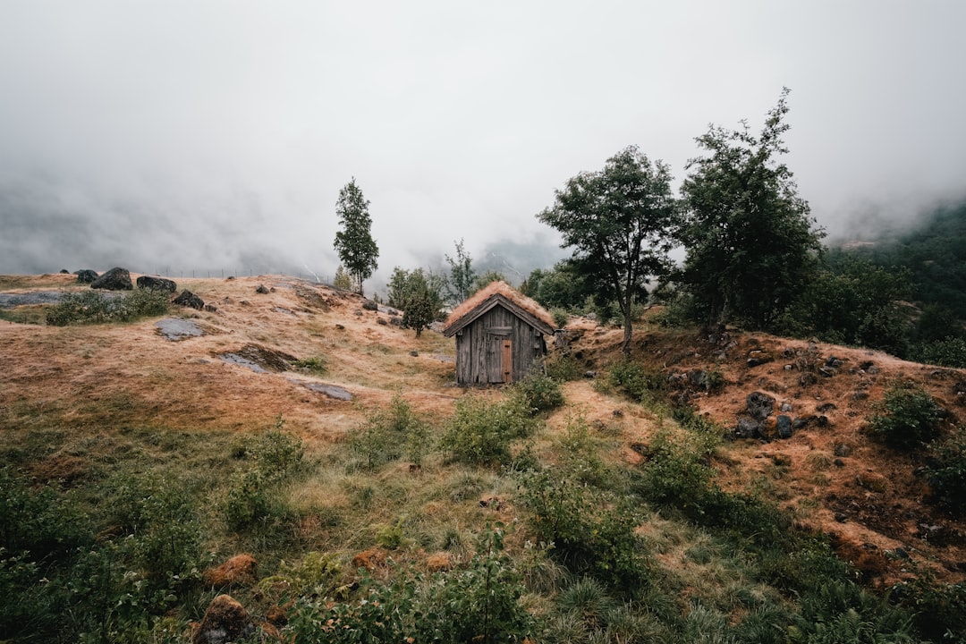
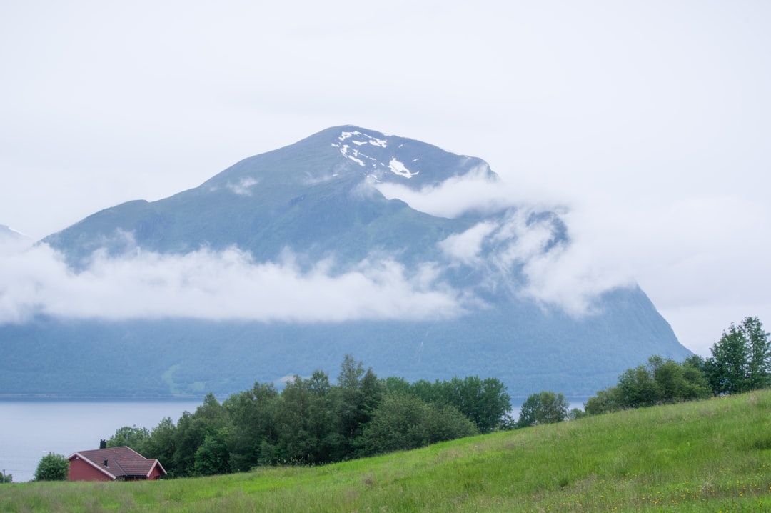
Sogndal Municipality
Read the Travel guide View on Google Maps
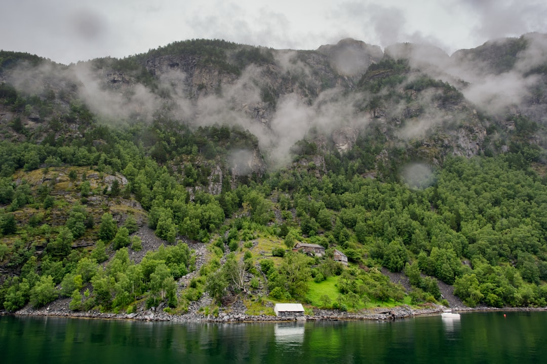
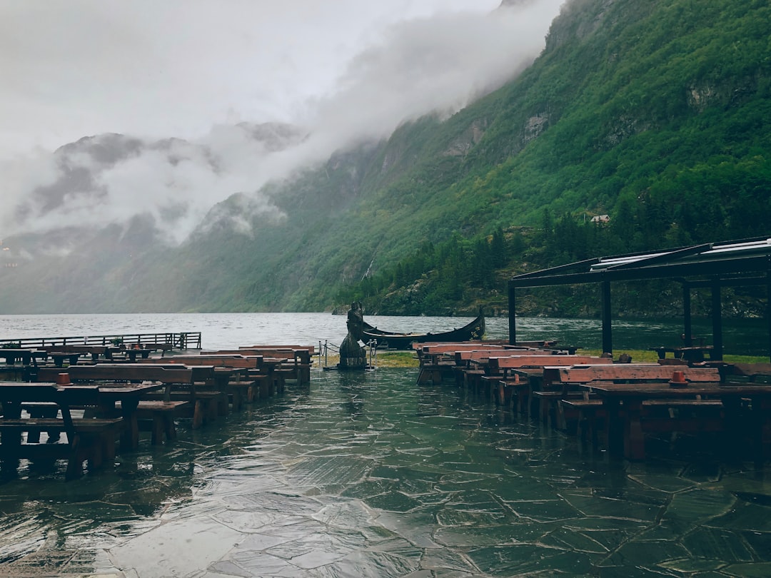
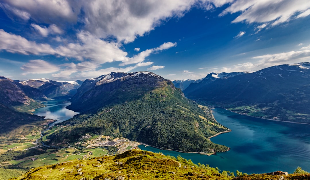
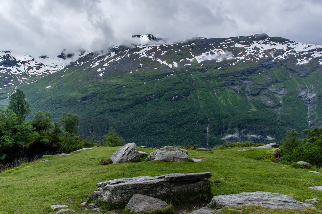
Nærøyfjord
31 km away from Sogndal Municipality
Read the Travel guide View on Google Maps
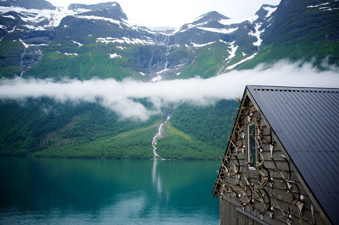
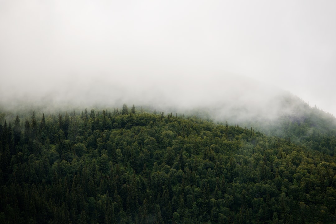
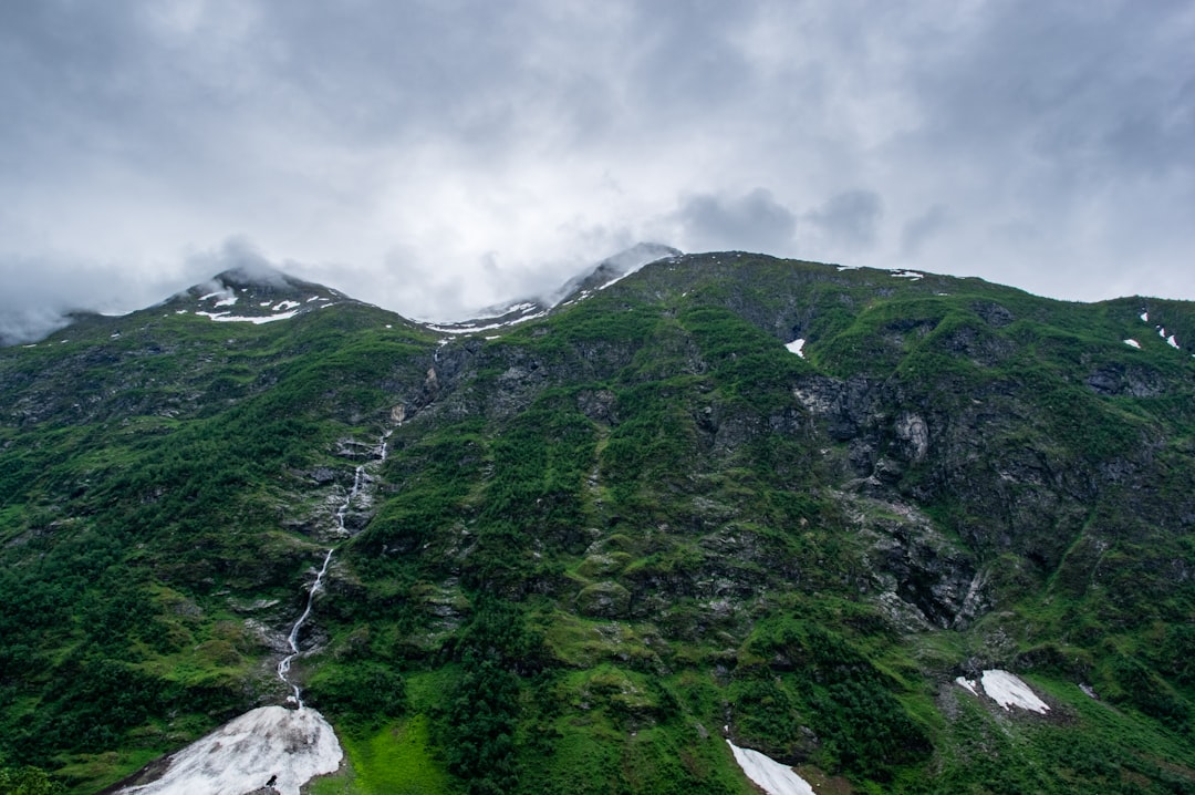
Supphellebreen
32 km away from Sogndal Municipality
Read the Travel guide View on Google Maps
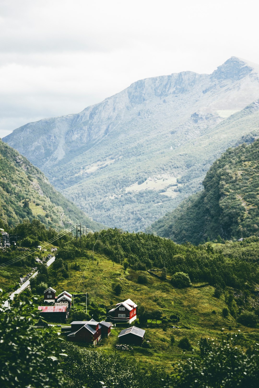
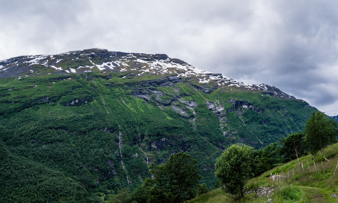
Flam
41 km away from Sogndal Municipality
Read the Travel guide View on Google Maps
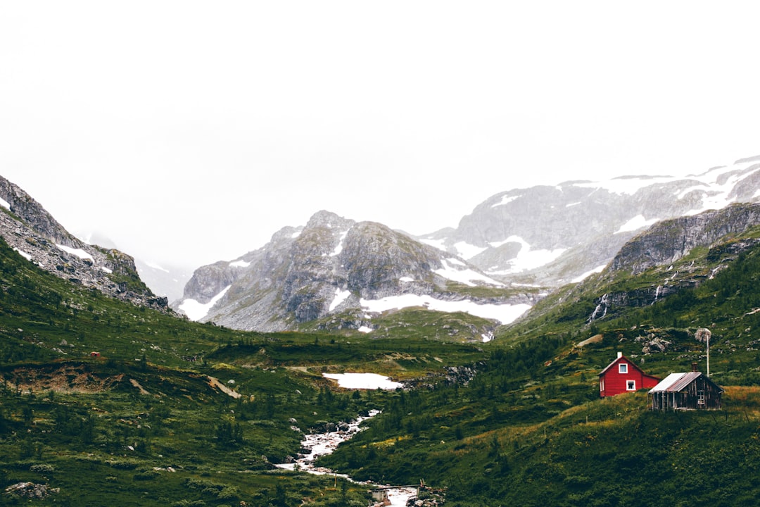
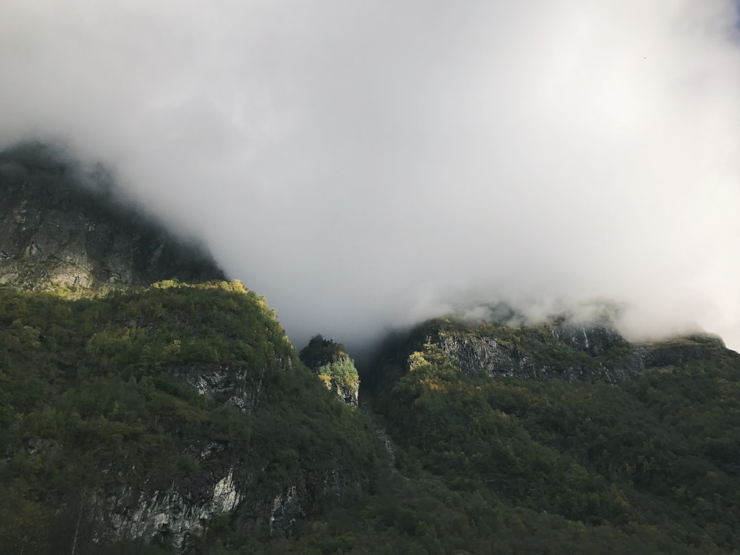
Fv241
41 km away from Sogndal Municipality
Read the Travel guide View on Google Maps
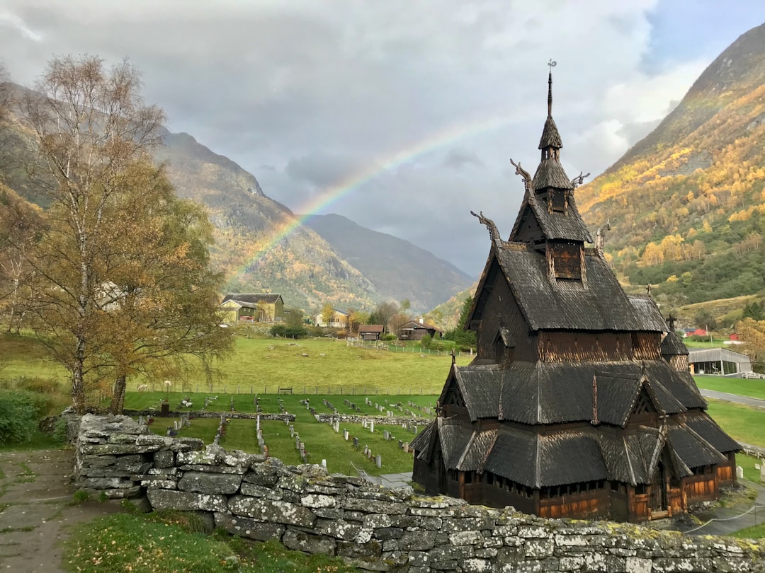
Borgund Stave Church
43 km away from Sogndal Municipality
Read the Travel guide View on Google Maps
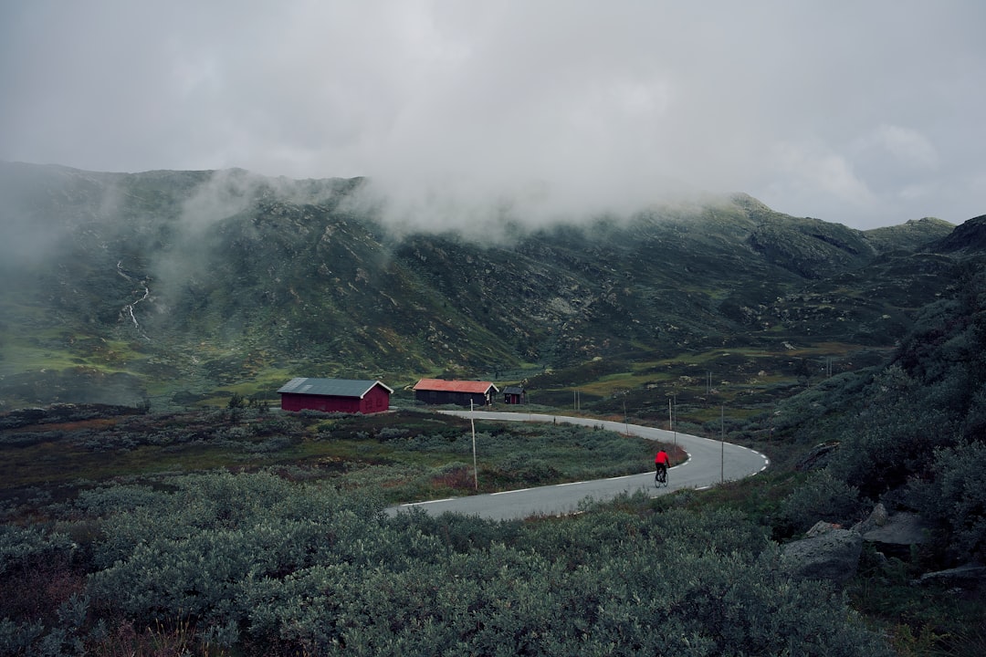
Vindhellavegen
43 km away from Sogndal Municipality
Read the Travel guide View on Google Maps
Hylland
45 km away from Sogndal Municipality
Read the Travel guide View on Google Maps
Nedre Oscarshaug
49 km away from Sogndal Municipality
Read the Travel guide View on Google Maps
Oldevatnet
63 km away from Sogndal Municipality
Read the Travel guide View on Google Maps
Loen
73 km away from Sogndal Municipality
Read the Travel guide View on Google Maps
Hemsedal
88 km away from Sogndal Municipality
Read the Travel guide View on Google Maps
Besseggen
92 km away from Sogndal Municipality
Read the Travel guide View on Google Maps

Dalsnibba
92 km away from Sogndal Municipality
Read the Travel guide View on Google Maps
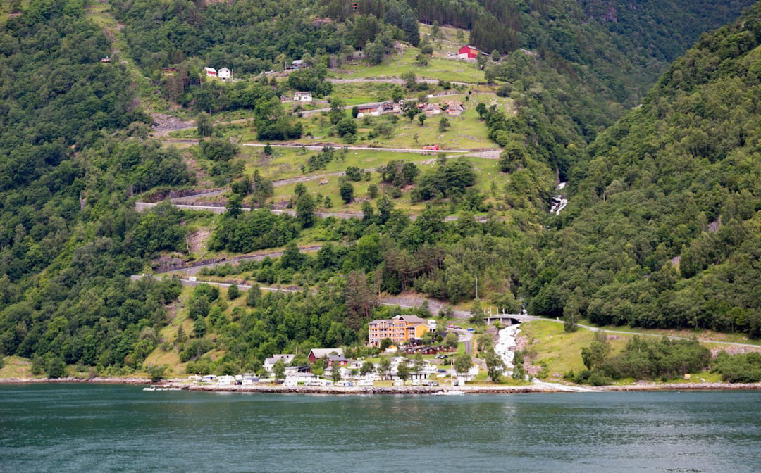
Hellesylt
96 km away from Sogndal Municipality
Read the Travel guide View on Google Maps
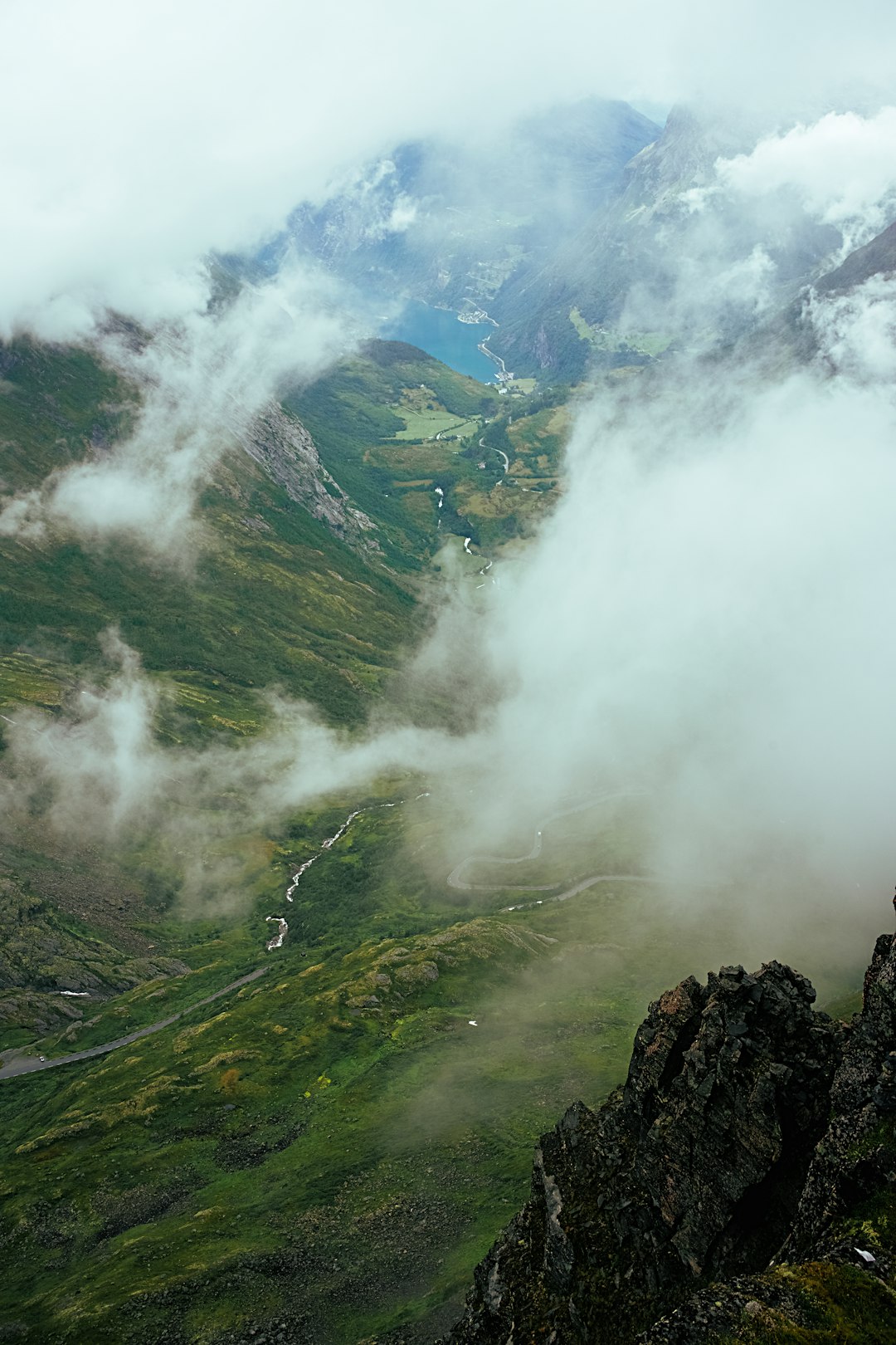
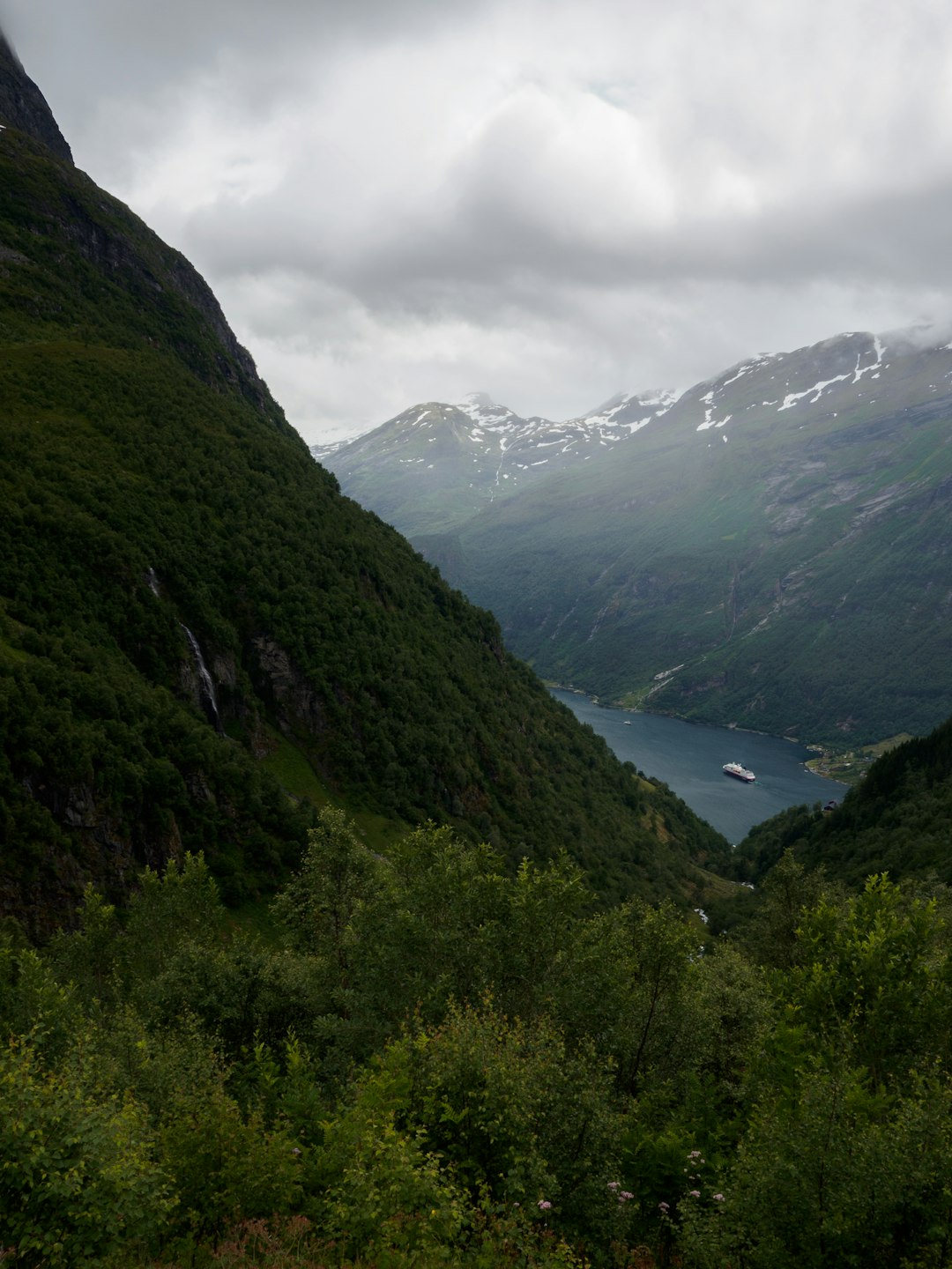
Geiranger
97 km away from Sogndal Municipality
Read the Travel guide View on Google Maps
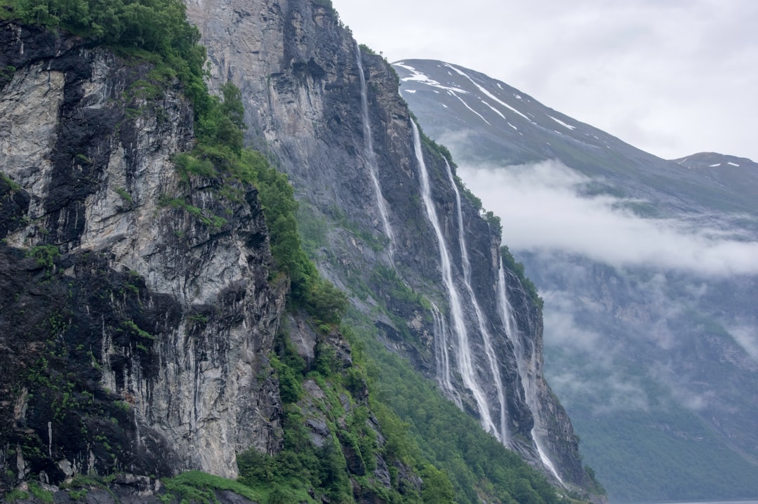
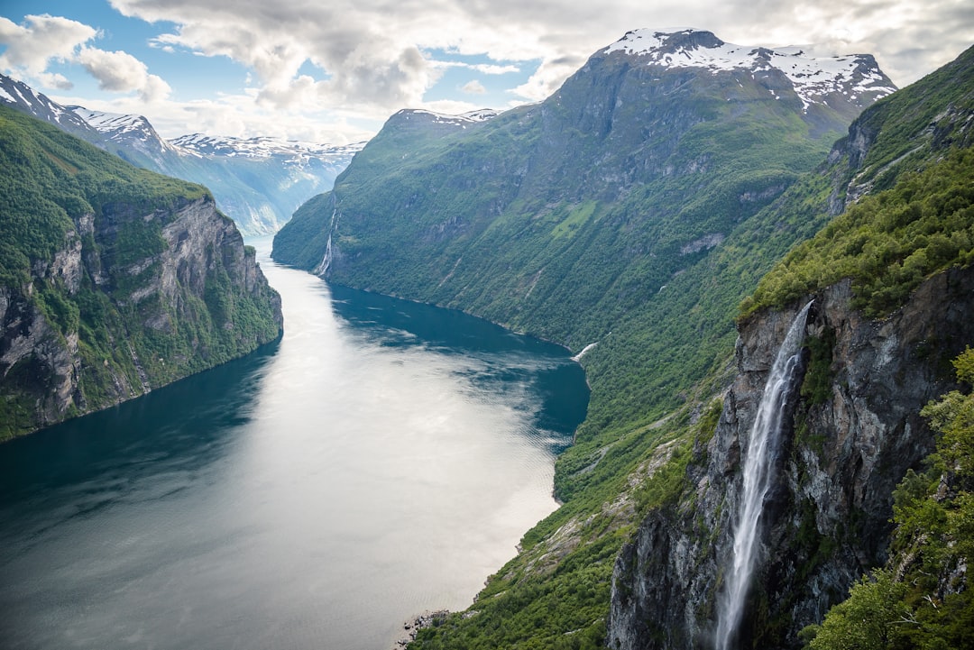
Geirangerfjord
97 km away from Sogndal Municipality
Read the Travel guide View on Google Maps
Unnamed Road
98 km away from Sogndal Municipality
Read the Travel guide View on Google Maps
Book your Travel Experience in Sogndal Municipality
Discover the best tours and activities in Sogndal Municipality and book your travel experience today with our booking partners
Learn More about Sogndal Municipality
Find Hotels in Sogndal Municipality
Discover the best hotels around Sogndal Municipality, Norway and book your stay today with our booking partner booking.com